The Blank Spaces on Old Charts
Before satellites, an empty patch of chart wasn't neutral — it was a decision, and sometimes a guess dressed as fact.
March 28, 2026 · 8 min read
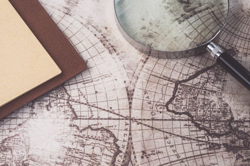
A chartmaker in 1760 has a problem that has nothing to do with drawing. A frigate has sounded a stretch of reef off an unfamiliar coast, turned back at dusk, and never returned to finish the line. The engraver now has to decide what goes on the copper plate where the coastline should be. Leave it blank and the chart admits its own limits. Draw a plausible curve and the chart looks finished, sells better, and might get a ship onto a reef nobody ever actually surveyed. Most 18th-century engravers, working for print houses that competed on how complete their atlases looked, leaned toward the curve. The blank space, when it survived at all, was the more honest and the less common choice.
The myth of the empty chart
People tend to picture old charts as mostly blank, with a scatter of noted coastlines and a lot of open parchment. In practice, that's rare. Blank space costs a printer money in unused plate and looks unfinished to a buyer who has just paid for a chart of the world. The pressure ran toward filling every corner with something — a coastline, a compass rose, a decorative border, a note. A true, honest blank, labeled as unknown, was a small act of professional discipline in a market that rewarded the opposite.
When a blank did appear, it usually meant one of a few specific things, not a general shrug at the unknown:
- No vessel had taken a sounding along that stretch, and the surveyor refused to invent one.
- Two earlier surveys disagreed sharply, and neither was trusted enough to print over the other.
- The coast lay inside a rival power's claimed waters, and access for resurvey was refused or dangerous.
- A single report existed, from a sealer or a whaler, and the hydrographic office judged it too thin to commit to copper.
Each of those is a different kind of not-knowing, and old charts rarely distinguished between them. That collapsing of causes into a single visual gap is its own quiet distortion, closely related to what we've written about generalization erasing the difference between things that look the same at small scale but aren't.
When blank became a guess
The more interesting failure mode isn't the honest blank — it's the blank that got quietly converted into something confident. Through the 18th and into the 19th century, British Admiralty charts and their rivals carried islands, shoals, and even whole coastlines that existed on paper and nowhere else. A captain's log entry, half-remembered and poorly logged, would get transcribed onto a chart as a dotted outline, then onto the next edition as a solid one, gaining certainty with every reprint despite no one having gone back to check. Some of these phantom features survived in print for the better part of a century, still being copied from chart to chart long after the ships that supposedly saw them had made their reports and moved on.
Hydrographic offices eventually developed a specific notation for this problem: a feature marked "E.D.," for existence doubtful, or "P.D.," position doubtful. It's a small piece of cartographic honesty tucked into the margin, and it says something about the whole practice — that mapmakers knew, even then, that a mark on a chart tends to be believed more than it deserves.
A coastline drawn with confidence and a coastline drawn from a rumor look identical on the page. Only the margin note, if there is one, tells you which is which.
— convention on 19th-century survey charts
The coastline that kept moving
Resurveying wasn't a one-time correction; it was decades of small revisions, each one shifting a coastline that readers had trusted as fixed. Pacific coastlines charted under sail in the 1770s were still being redrawn a century later as steam-powered survey vessels worked back over the same water with better instruments. A strait that one expedition called open water might turn out, on the next pass, to be a shoal-choked inlet that no ship should attempt. None of this instability was visible to someone holding a single printed sheet. The chart looked settled. It wasn't — it was one snapshot in an argument that kept running for a hundred years, a problem closely tied to what happens when the underlying reference itself shifts, which we cover in the datum problem nobody mentions.
Terra incognita inland: the last blank valleys
Coastlines got most of the early attention because ships could reach them. Interiors lagged much further behind, and some stayed genuinely blank on official maps well into the 20th century. The highland valleys of New Guinea are the case most often cited: European and Australian maps through the 1920s showed the island's interior as an empty green expanse, on the assumption that dense mountain forest meant no one lived there. Aerial survey flights in the early 1930s found the opposite — cultivated valleys holding a population in the hundreds of thousands, farming terraces that had been there for generations, simply never seen from outside because no expedition had walked in and come back to report it. The blank space on the map hadn't meant empty ground. It had meant nobody with a notebook had been there yet.
Filling the blanks: a rough timeline
The method for closing a blank space changed with the technology available, and each new method solved the previous one's blind spot while introducing its own.
| Period | Where | What had filled the blank | How it was corrected |
|---|---|---|---|
| 1770s–1840s | Pacific coastlines | Guessed inlets and reported straits | Slow coastal resurvey under sail, lead-line soundings |
| 1850s–1900 | Interior river systems | Tributaries marked "reported" from single sources | Overland expedition sketch-mapping |
| 1920s–1930s | New Guinea highlands | Assumed-empty forest cover | Aerial photographic survey |
| 1940s–1960s | Polar coastlines | Conjectural ice-shelf edges | Systematic aerial, later satellite, reconnaissance |
| 1970s–present | Deep ocean floor | Flat, undifferentiated "abyssal plain" shading | Multibeam sonar bathymetry |
The blank space as a kind of honesty
Satellites and sonar have mostly retired the literal blank. Almost every square kilometer of the planet now has some pixel value assigned to it, somewhere, in some dataset. But the impulse the blank space stood for hasn't gone anywhere — it's just moved to where the naked eye can't spot it. A satellite tile smoothed over cloud cover. A coastline generalized past the point of matching the tide. A boundary drawn with a confident single line where the actual claim is disputed and unresolved. The honest blank of an 18th-century chart, for all its commercial disadvantages, at least told the reader plainly where the knowledge stopped. Most of today's maps don't offer that courtesy; they just fill the space and move on, the same as the engravers who couldn't stand to leave the plate looking unfinished.